Results

The Results tab displays the unit number, name, Station, Latitude, Longitude, Height, number of Observations, and Valid observations based on user-selected Settings.
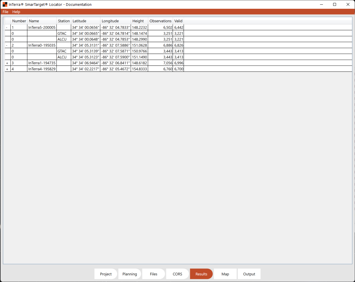
The leftmost column can be opened to see calculations based on each CORS Station. The result at the unit level is the average of the CORS stations used in the computation.
A visual verification of the SmarTargets results can be observed on the Map tab.